This attraction introduction is compiled from historical materials in the "Zhangjiajie Tour Guide Network" (33519.com · Scenic Spots section). Ticket prices, opening hours, transportation, and contact information mentioned in the text may be outdated. Please refer to the latest official announcements from the scenic area before traveling; some content consists of historical background/cultural introductions and is for reference only.
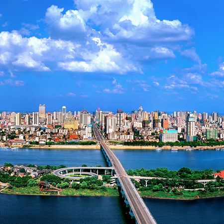
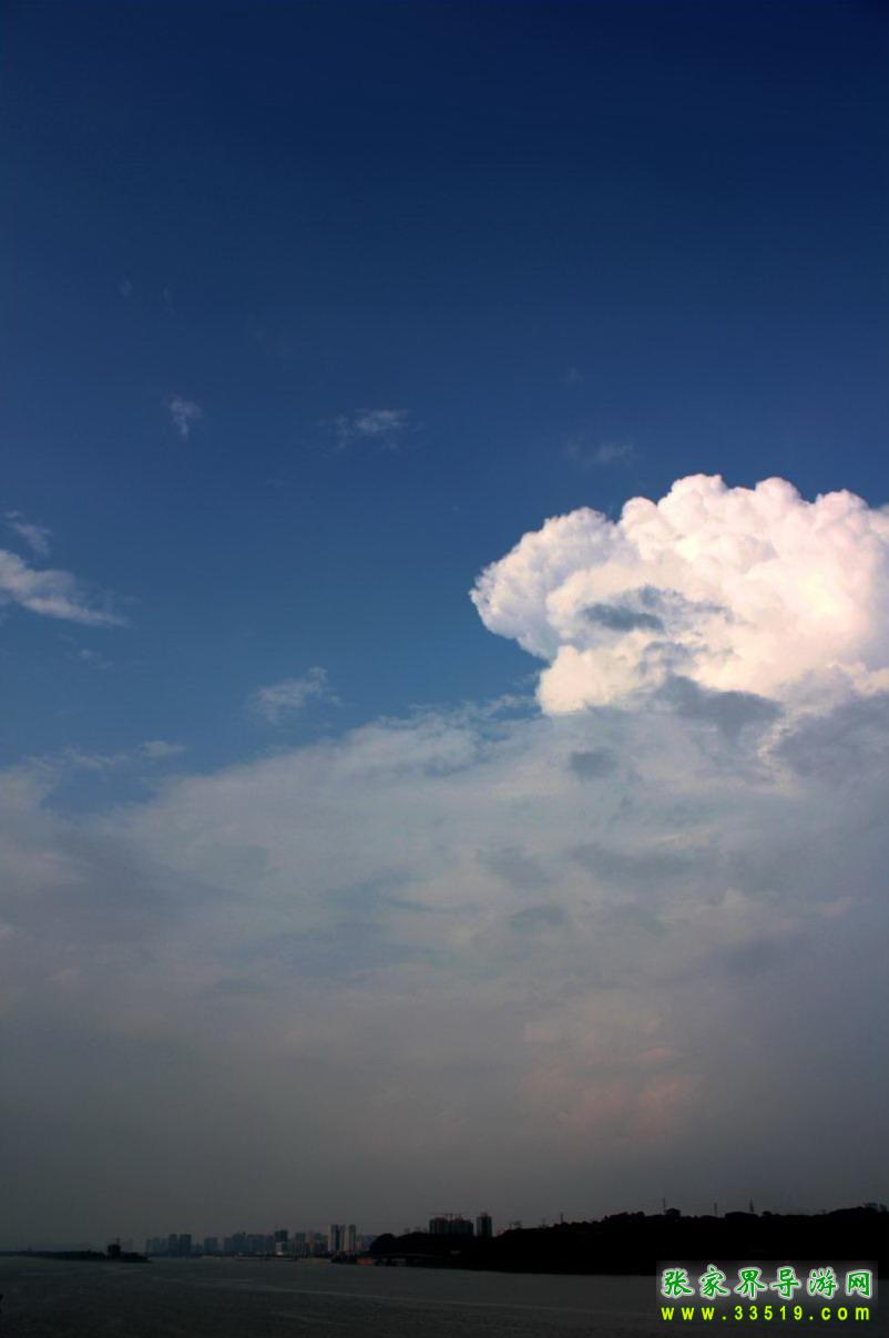
The Xiang River comes from Longmu Cliff of Haiyang Mountain in Lingchuan County, Guangxi, winding through mountains and pouring through valleys all the way, threading through forests and crossing fields, receiving a hundred streams. Passing Zhaoshan, it enters Changsha, and to the west receives the Jin River and Wei River, to the east takes in the Liu River and Laodao River, floating past 15 islets and flowing through 13 shoals, with misty waters and clouded skies, a thousand sails racing forth. In spring and summer it sometimes surges with turbulent waves and muddy billows sweeping the sky; in late summer and early autumn one often sees the western waters flow backward, with the water as clear as a mirror. On both banks, red cliffs like rosy clouds, white sand like snow, weeping willows like silk, and masts and sails like clouds form a beautiful Xiang River scenic belt. In the early Qing, Liu Xianting (1648–1695) praised it in Guangyang Zaji: "Outside Changsha's Small West Gate, looking at the residents on both banks, though they are bamboo fences and thatched cottages, all are clear, elegant, and serene, with not the slightest worldly air. The boats near and far, those going up, those going down, those with sails fully spread, those moored, those trimming their oars, the large and the small, all are fit for a painting—truly one of the finest places under heaven."
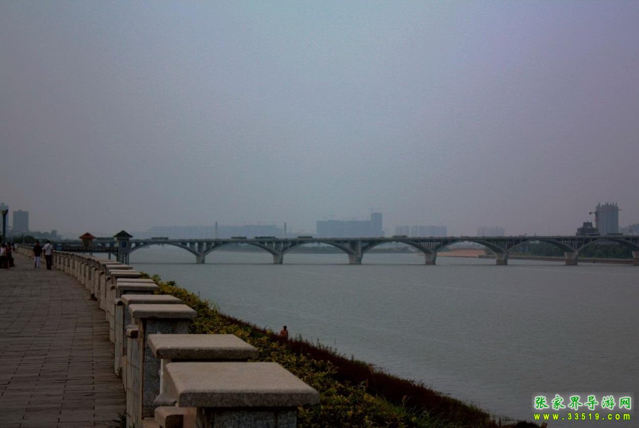
Changsha developed by relying on the Xiang River. Since ancient times docks stood in great numbers; by 1949 there were still 81 docks on both banks. After Liberation, freight docks moved south, and ferries replaced wooden boats. In 1972 the Xiang River Bridge (Bridge No. 1) was completed, ending the history of crossing the river amid wind and waves. Xiang River Bridge No. 1 is a large 17-span double-curved arch bridge, 1,532 meters long, with a "T"-shaped structure. From the south side of pier 8 it extends 10 spans of branch bridge toward Orange Isle, and on the north side there is also a spiral staircase. On the east side of the bridge there are cantilevered steps, and on the west side solid stepped stairs, each with its own character. In 1990, between Xinhe and Yinpenling, a cable-stayed bridge with twin towers and a single cable plane was completed, with a total length of 3,617 meters. The cables, thick as rice bowls, glitter like silver threads from afar. The curved ramps rise symmetrically into the air. Leaning on the railing and gazing, the vast blue waves flow down toward Dongting, fading into the white clouds at the horizon, stirring up a thousand acres of reverie.
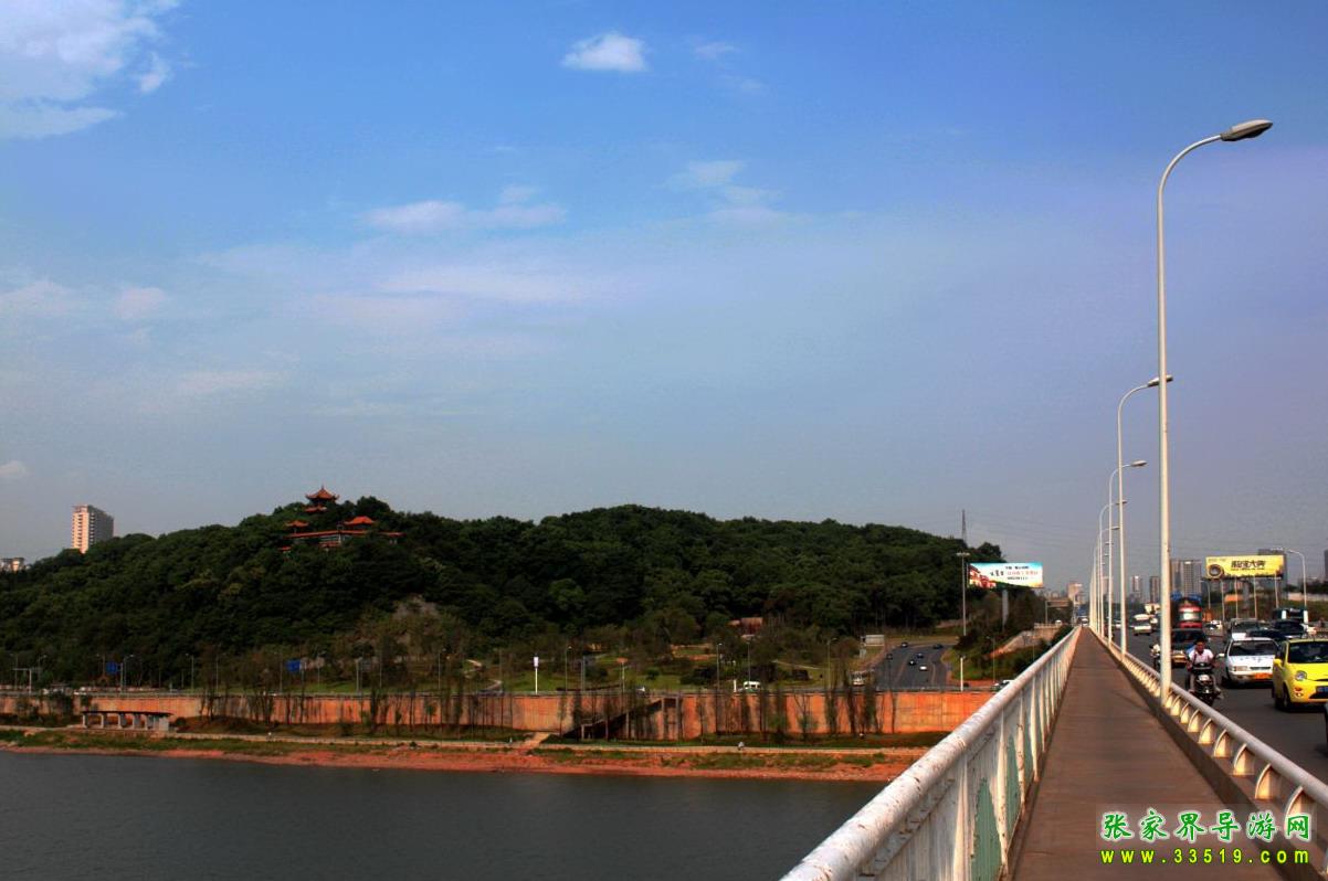
The Xiang River brought prosperity to Changsha, and also once submerged civilization. Today the riverbanks have been built into broad stone flood-control embankments, planted with famous flowers and fine trees, and furnished with stone railings and stone benches; they are fine places for citizens to rest, stroll, enjoy the scenery, dance, and practice martial arts. In the past, wastewater was discharged through the "Eight Great Public Ditches," but now it is all intercepted along the river, pumped to a sewage treatment plant for purification, and only then discharged into the Xiang River, so the Xiang River remains clear and transparent to this day, with fish leaping and shrimp playing.