This attraction introduction is compiled from historical materials in the "Zhangjiajie Tour Guide Network" (33519.com · Scenic Spots section). Ticket prices, opening hours, transportation, and contact information mentioned in the text may be outdated. Please refer to the latest official announcements from the scenic area before traveling; some content consists of historical background/cultural introductions and is for reference only.
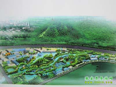
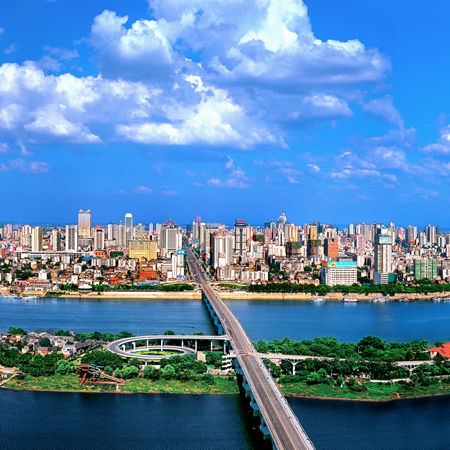
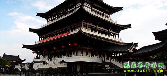
The Guitang River Tourism Scenic Belt is located along the banks of the Guitang River in Yuhua District, Changsha City, starting from Xiangfu Avenue in the south and extending to Xiangzhang Road in the north. Centered on the Guitang River, it stretches 200 meters along both banks, covering a land area of 2,007 mu (including 207 mu of river channel), with a total length of about 3 kilometers. Including parts of Tianhua Village and Bantang Village, the land area is about 400 mu (Phase II development), with a total area of about 2,400 mu. The project is developed and constructed under the model of "government-led, professional planning, overall planning, and phased implementation." The Guitang River Scenic Belt is a waterfront scenic belt in Yuhua District near the new site of the Hunan Provincial Government. The project combines the renovation of the Guitang River to enhance the ecological, social, and economic benefits of both banks, create a unique urban cultural tourism atmosphere in Changsha, and build the midstream banks of the Guitang River into a permanent comprehensive tourism scenic area with rich cultural connotations, integrating tourism, dining and entertainment, and leisure shopping, highlighting Changsha's characteristics while accommodating the styles of various regions and exotic flavors. .