This attraction introduction is compiled from historical materials in the "Zhangjiajie Tour Guide Network" (33519.com · Scenic Spots section). Ticket prices, opening hours, transportation, and contact information mentioned in the text may be outdated. Please refer to the latest official announcements from the scenic area before traveling; some content consists of historical background/cultural introductions and is for reference only.
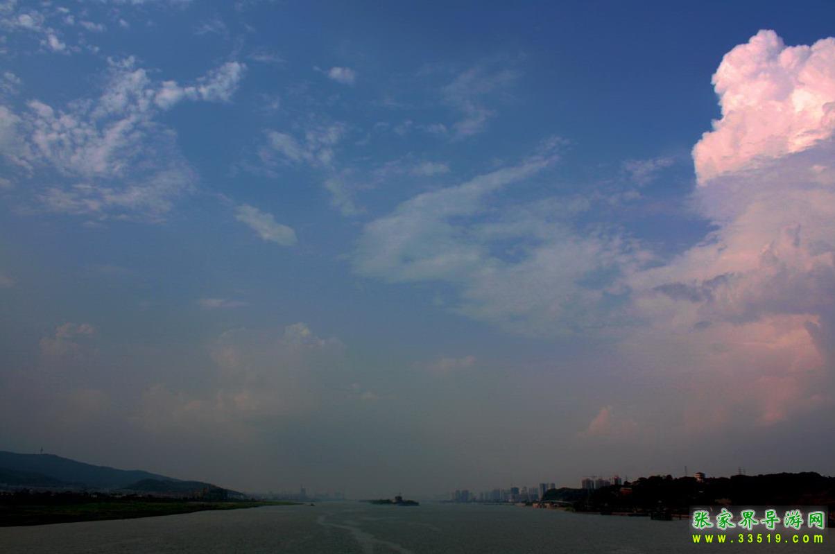
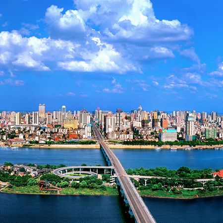
The Changsha Xiangjiang Scenic Belt runs along the Xiangjiang River from the planned Changsha Xiangjiang Heishipu Bridge in the south to the northern end of Moon Island in the north, about 26 kilometers long.
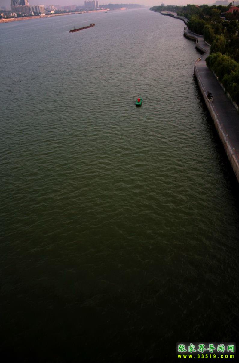
The entire scenic belt fully embodies Hunan's natural scenery, with a beautiful environment. It is a good place for tourists to sightsee and rest, and also a wonderful spot for citizens to do morning exercises and evening strolls.
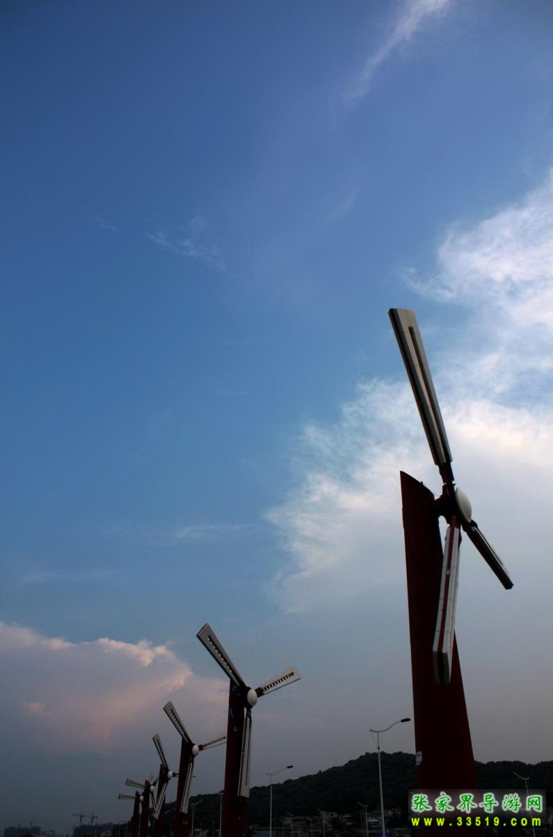
The entire project uses the Xiangjiang River as a link, integrating flood control, ecological greening, and tourism into roads and landscapes; the project is located within the jurisdictions of Changsha, Xiangtan, and Zhuzhou cities, with a total length of about 72 kilometers.
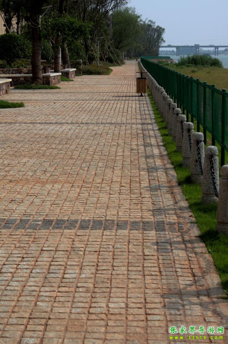
The Xiangjiang Scenic Belt, also known as the Changsha Xiangjiang Water Conservancy Scenic Area, is a national water conservancy scenic area.