This attraction introduction is compiled from historical materials in the "Zhangjiajie Tour Guide Network" (33519.com · Scenic Spots section). Ticket prices, opening hours, transportation, and contact information mentioned in the text may be outdated. Please refer to the latest official announcements from the scenic area before traveling; some content consists of historical background/cultural introductions and is for reference only.
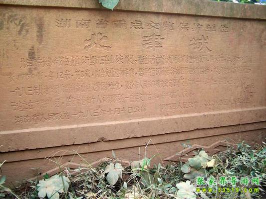
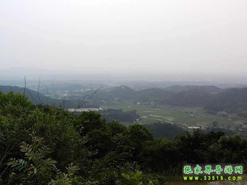
The Beijincheng Site is located at Sanchaji, Yuelu District, Changsha City. It leans against Gushan in the west and faces the Xiangjiang River in the east, using water as defense. The entire city site is triangular, covering about 500,000 square meters. On the northwest and southwest of the city site there is an earthen city wall, about 2,100 meters long. The rammed-earth wall is higher in the south and lower in the north, with a trapezoidal cross-section.
The southern section of the city wall is about 14 meters wide at the base, about 7-8 meters wide at the top, and about 10 meters high; the northern section is about 8 meters wide at the base, about 4 meters wide at the top, and about 5-6 meters high. There is a natural gap on each of the north and south sides of the wall, commonly known as "North Gate Mouth" and "South Gate Mouth." Outside the wall is a string of ponds, which must be remnants of the original moat. The terrain inside the city is uneven, with a long stretch of rice fields extending from the North Gate Mouth to the south of the city and then turning east toward the river, possibly traces of the original waterway in the city. Since 1981, the Changsha Cultural Relics Task Force has conducted multiple surveys and partial trial excavations here and in the surrounding area. From the rammed earth of the city wall and near the city wall inside the city, a batch of relics from the Warring States period to the early Western Han Dynasty was unearthed, including Warring States bronze [character unclear], Western Han cylindrical tiles, flat tiles, and tile ends. Outside the city to the north is a stretch of earthen mounds, where a batch of mid-Western Han tombs was discovered. To the northwest outside the city is the Gushan mountain range in Wangcheng County. Between the peaks of two mountains about 1.5 kilometers across the city site, there is a small flat area commonly known as "Anzi Ping." In this flat area, a large number of Western Han cylindrical tiles and tile ends were excavated, and a batch of Western Han tombs was also found at the foot of the mountain below the flat area. About 100 meters southwest outside the city is an isolated hill, commonly known as "Donggua Mountain." From the foot to the top of the hill, fragments of Western Han cylindrical tiles and tile ends can be seen everywhere. Archaeological materials prove that this is an ancient city site of the Western Han period.