
Where is Xiangxi
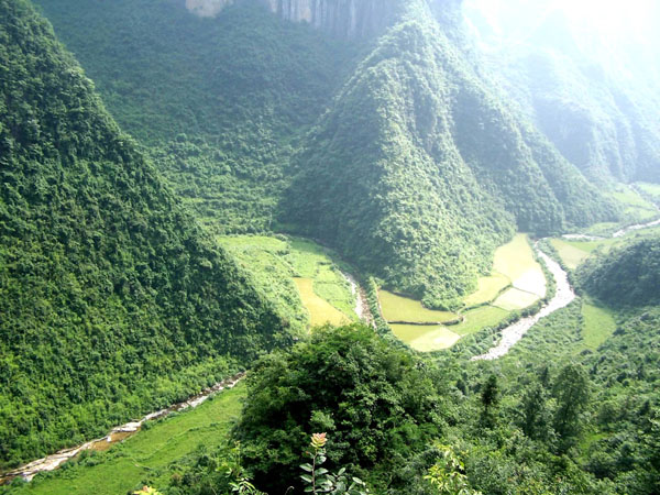
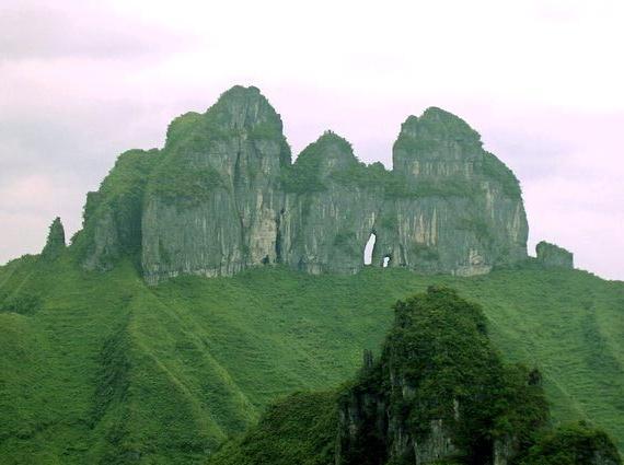
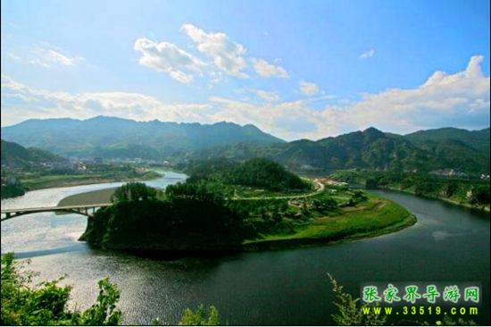
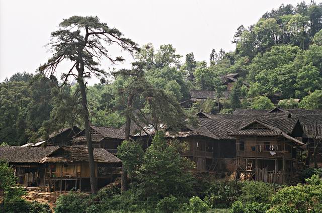
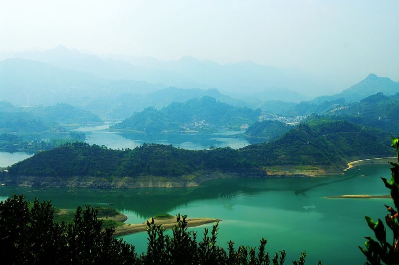
Xiangxi Tujia and Miao Autonomous Prefecture (abbreviated as 'Xiangxi Prefecture') is in the northwest of Hunan Province, in the Wuling Mountain area on the eastern side of the Yunnan-Guizhou Plateau. It borders Zhangjiajie and Huaihua to the east, Hubei's Enshi to the north, and Chongqing and Guizhou to the west. The prefectural seat is in Jishou City, and it administers Jishou City and the counties of Luxi, Fenghuang, Huayuan, Baojing, Guzhang, Yongshun, and Longshan. Heading south from Zhangjiajie into Xiangxi Prefecture is the most classic 'mountain-water-village-city' travel corridor in western Hunan.
Why visit Xiangxi
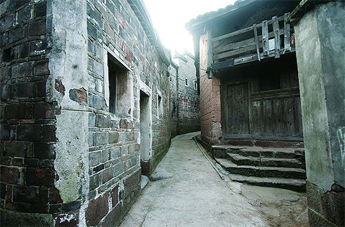
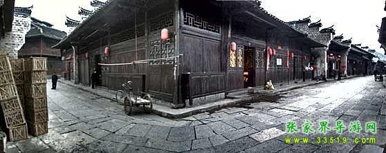
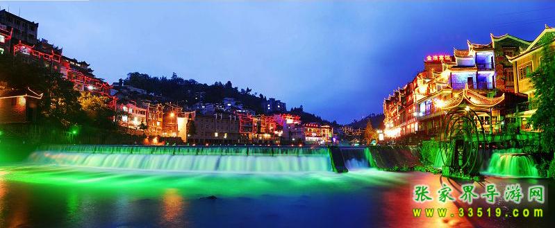
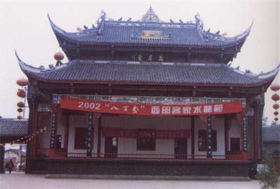
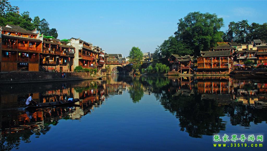
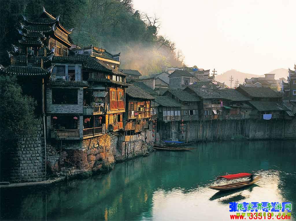
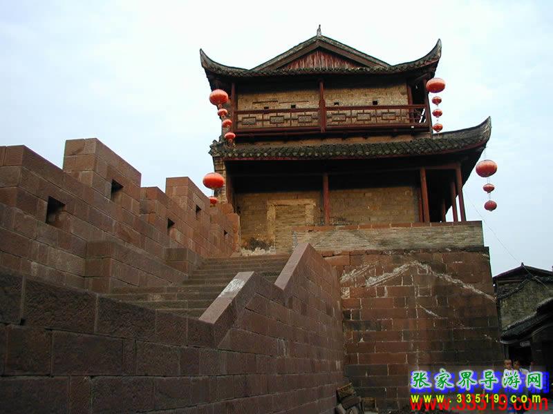
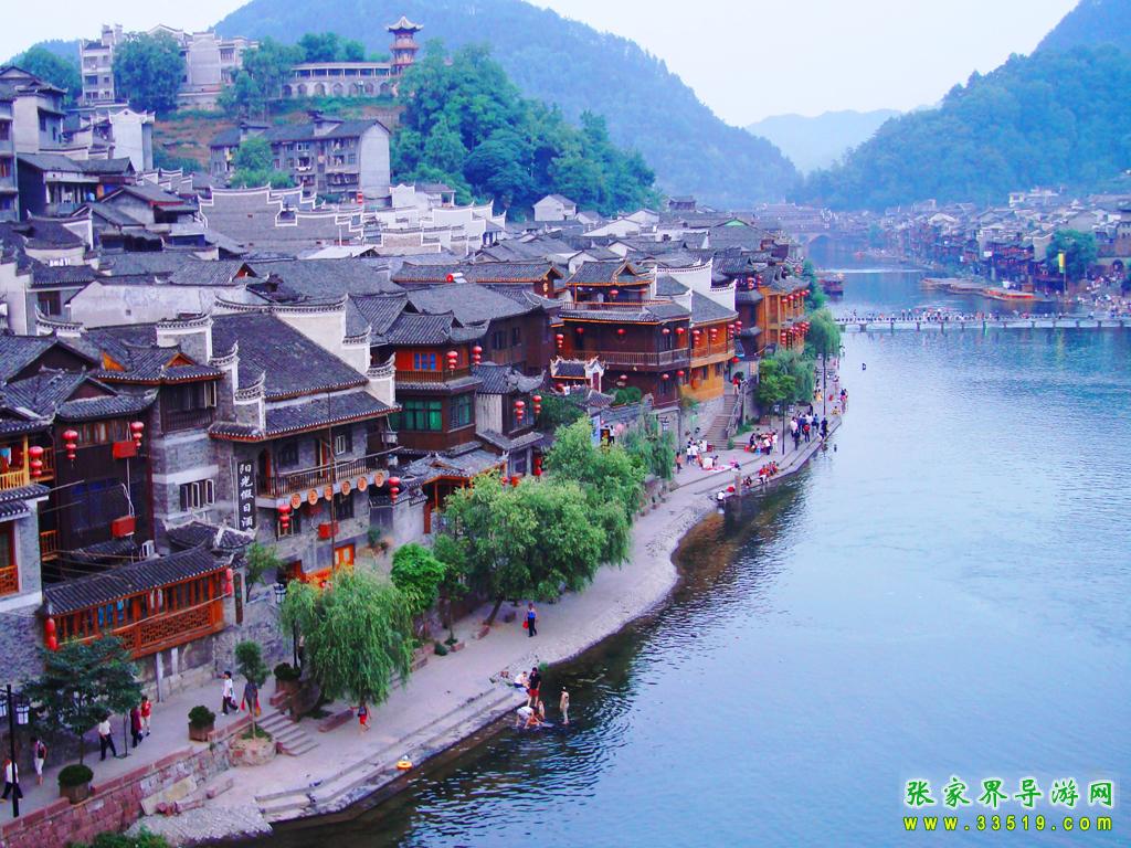
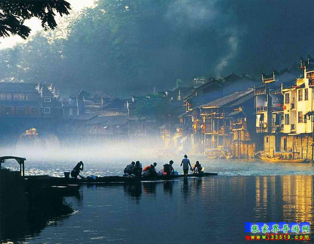
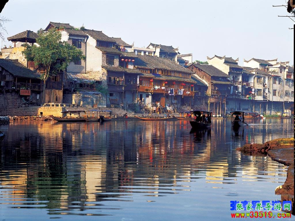
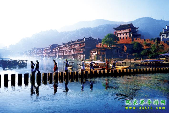
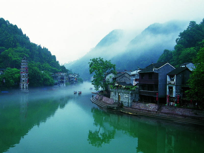
- Fenghuang Ancient Town: The Tuo River runs through the city, with stilted houses and the Hong Bridge complementing each other. It is a national-level historical and cultural city, known as "China's most beautiful small town," and is the most representative ancient town in western Hunan.
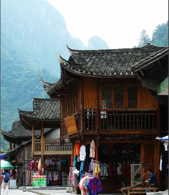
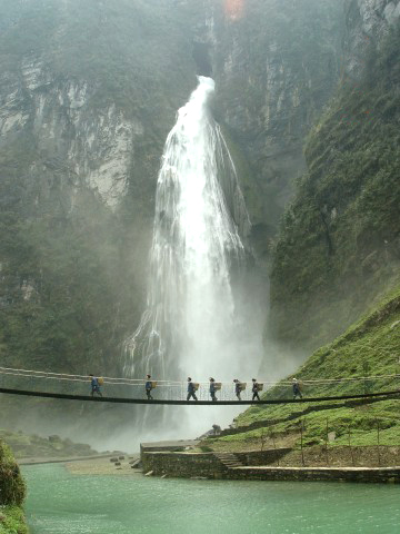
- Furong Town (Wangcun): A thousand-year-old town hanging over a waterfall, with Tujia stilted houses built against the cliffs, famous for the movie of the same name.
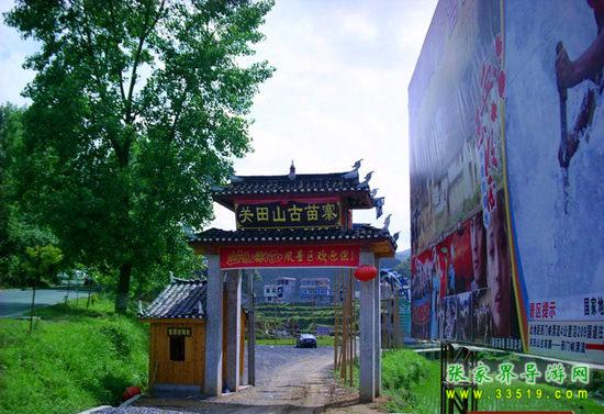
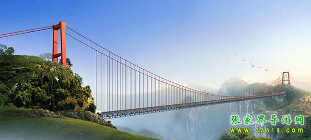
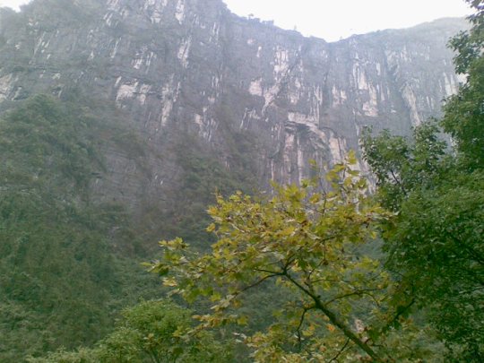
- Aizhai Bridge and Dehang Miao Village: The Aizhai Grand Suspension Bridge spans the Dehang Grand Canyon, where the sound of Miao village drums echoes against the canyon mist.
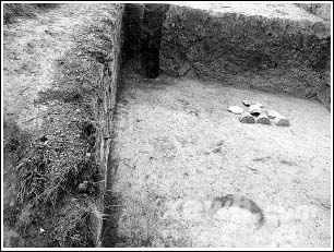
- Liyey Ancient Town: The site of a Warring States ancient city and the place where tens of thousands of Qin bamboo slips were unearthed, rewriting research on Qin dynasty history.
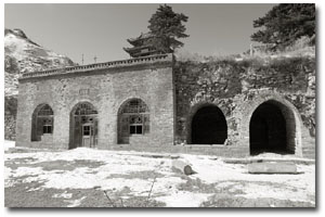
- Laosicheng Site: The former capital of the Tusi Kingdom and part of the UNESCO World Heritage Site "Tusi Sites."
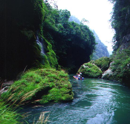
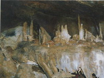
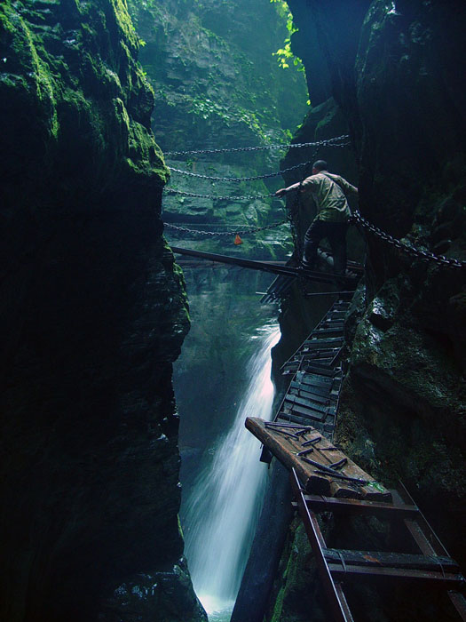
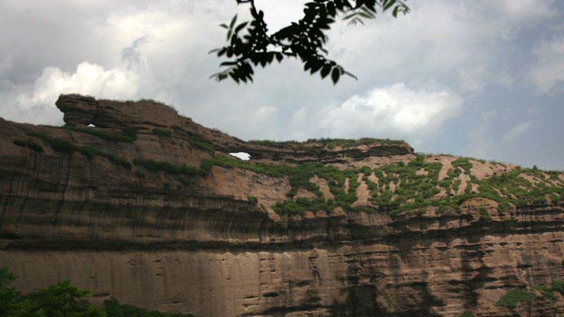
- Mengdong River Rafting, Qiliang Cave, Red Stone Forest: Canyon rafting, karst caves, and geological wonders make this a classic natural experience in Xiangxi.
Ethnic Groups and Culture
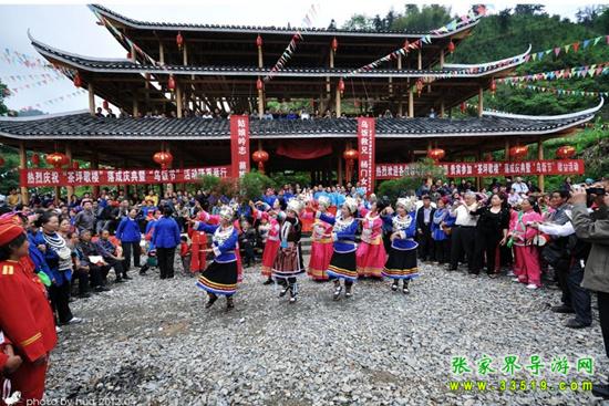
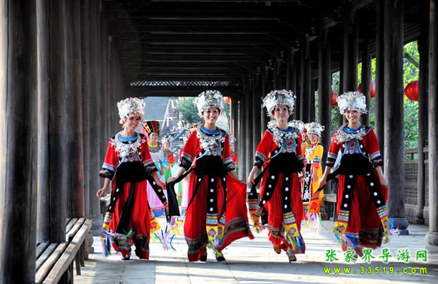
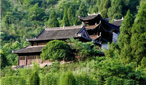
Xiangxi is a place where the Tujia and Miao peoples have lived for generations. In 1952, the Xiangxi Miao Autonomous Region was established, and in 1957, the Xiangxi Tujia and Miao Autonomous Prefecture was founded, making it one of the earlier regions in the country to implement regional ethnic autonomy. Tujia hand-waving dance, Miao drum dance, stilted buildings, batik, and silver ornaments are among the ethnic folk cultures that have been well preserved here. Market days, festivals, and village life remain the most moving parts of travel.
How to Get Here and How to Explore
Xiangxi Prefecture is connected north-south by the Jiaozuo-Liuzhou Railway (passing through Yongshun, Guzhang, Jishou, Fenghuang, etc.), with National Highways 318/209 and several expressways crossing the prefecture. To the north, you can access it via Zhangjiajie Hehua Airport, and to the south via Guizhou Tongren Daxing Airport. Within the prefecture, Jishou serves as the hub, linking directions such as Fenghuang, Mengdong River-Furong Town, and Dehang-Aizhai. The classic way to travel is to connect with Zhangjiajie: see the mountains in Zhangjiajie → Mengdong River/Furong Town → Jishou · Dehang · Aizhai → Fenghuang Ancient Town. Five to seven days is a more relaxed pace.
Practical Tips
- Western Hunan is mostly mountainous and hilly, with a large temperature difference between day and night and frequent fog and rain in the mountains. Bring rain gear and non-slip shoes when traveling.
- In peak season, ancient towns and cities such as Fenghuang and Furong Town are crowded, so accommodation should be booked in advance.
- Scenic spots within the prefecture are scattered and public transportation is mainly by bus; self-driving or chartering a car is more flexible; please choose licensed vehicles when taking transportation.
- Respect local ethnic customs and village life. When entering Miao and Tujia villages, be polite when taking photos.
This page was compiled from the city overview and travel notes on the original 'Zhangjiajie Tour Guide Network' (33519.com) site, with images taken from real-life photos of Xiangxi/Fenghuang publicly available on the original site. The Xiangxi Prefecture overview series is based on early historical materials, and administrative divisions, population, and data may have changed; the actual situation should be based on official releases from the local government and scenic areas.